Asian Highway - the past and future maps
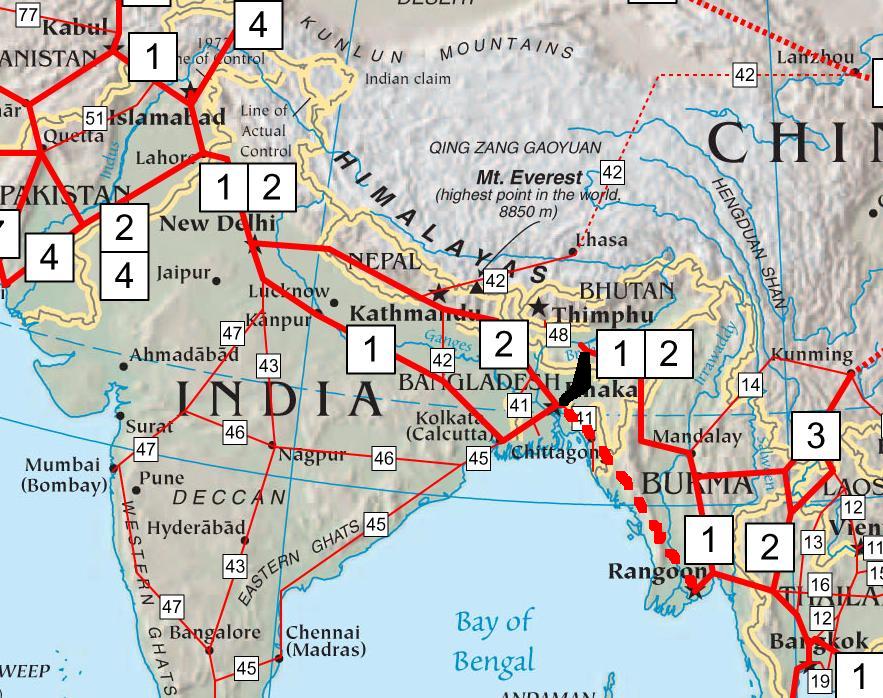
The Asian Highway project is a joint effort between Asian countries and UNESCAP to improve trans-Asian goods transport. The South-Asian segment of the road network is shown in the following map :
The road segment of AH-1 will connect North-East India with Kolkata, via a shorter route. The black-circled area is under scrutiny by Bangladesh Govt., as they argue that it will virtually become a transit route for Indian goods between rest of India and North-East India.
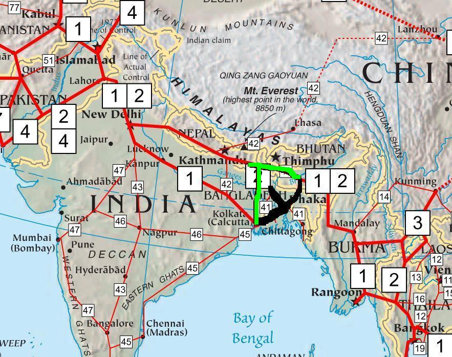
The Bangladesh Govt. proposed a change in route-map to avoid the disputed transit facility to India. They approached the neighboring countries with the request. The proposed change was somewhat like this :
The Black route was what they objected, and the dotted red one was the newly proposed AH-1. However, their proposal was not accepted by any of the countries they approached.
As Bangladesh decided not to join Asian Highway Road map, the new map will probably look like this :
The maroon color road signifies the new AH-1 route. The Black is the part that will be romoved from the map and the green one is the new route. However, the proposed AH-1 and AH-2 might be swapped, roads connecting Kolkata and Delhi might become a part of AH-2.
posted by Diganta at
12:14 PM
![]()
![]()

<< Home